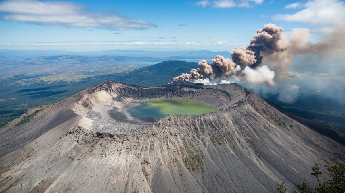
Smoke seen on Mt. Longonot recently sparked interest and concern among locals and tourists.
The occurrence, though reported to have raised many eyebrows over a probable eruption of the volcano. This was denied by the KWS.
This mountain, which lies rated as a dormant volcano with its last eruption in the 1860s, has not indicated an imminent eruption.
Where is it Located?
Mt. Longonot is in the Great Rift Valley; it is part of the Mount Longonot National Park in Nakuru County.
From Nairobi, the park would take about approximately 2 hours by road to get here, hence a very favourable destination for hiking and nature lovers.
Is Mt. Longonot a volcanic mountain?
Mt. Longonot is a volcano but is classified as a stratovolcano.
Past eruptions shaped its dramatic landscape at an elevation of 2,776 meters, but it has been dormant for over 150 years.
Smoke on Mt. Longonot: What Happened?

Hiking Mt. Longonot
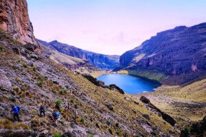
The Mt. Longonot hike is one of the most popular outdoor activities in Kenya.
The trail will take you through some difficult, yet satisfying, terrains up the summit to a height of 2,776 meters above sea level.
It generally takes about 2 to 3 hours to get to the rim of the crater and a further 4 to 6 hours to hike around it.
Along the way, hikers are treated to stunning views of the Great Rift Valley, Lake Naivasha, and the dense forest that fills the caldera.
Final Thoughts and Tips
If you plan to visit Mt. Longonot, be sure to bring plenty of water and sunscreen, as the hike can be rather strenuous, especially in the hot sun.
The park’s hours of operation run from 6:00 AM to 6:00 PM, and the hike should start early.
The mountain remains safe for tourists. KWS continues to monitor the park closely.
If you are an adventure lover and enjoy thrilling landscapes, Mt. Longonot is the place to be.


